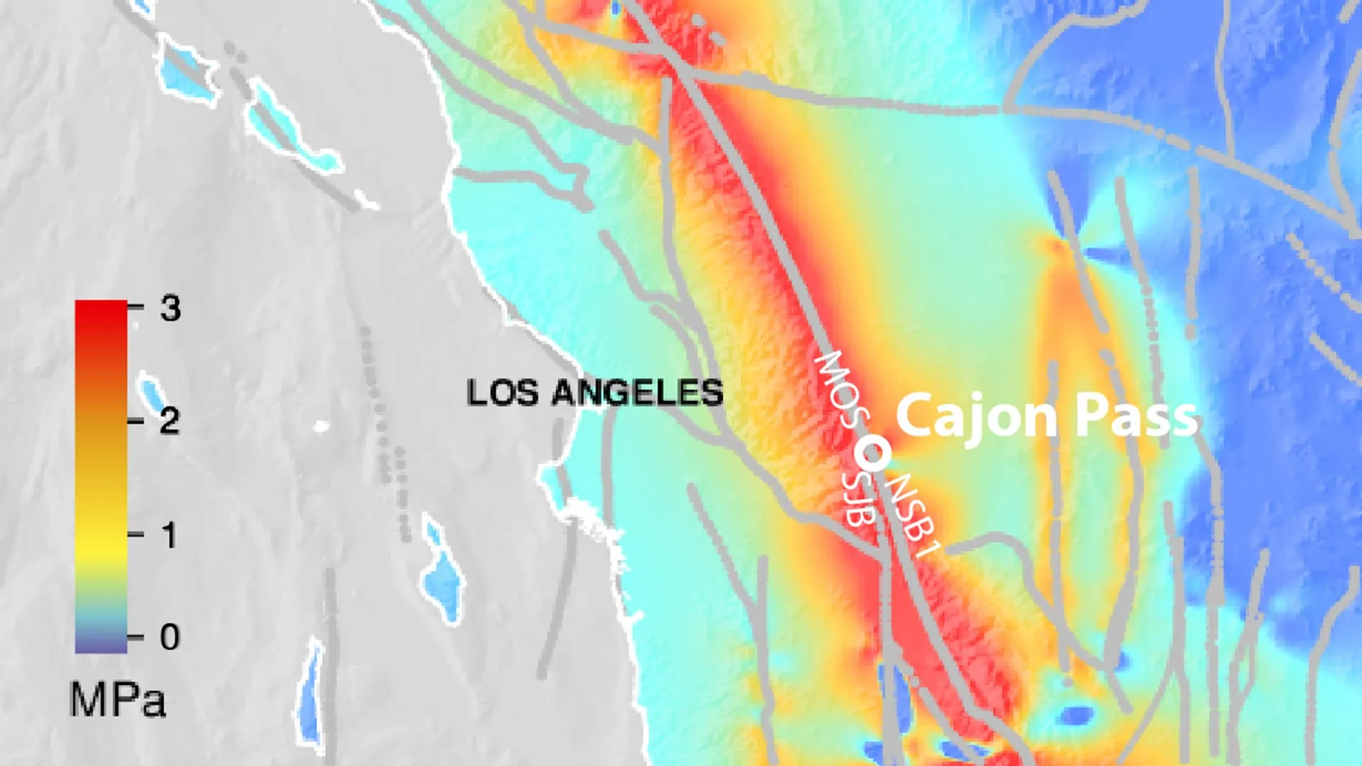
Geologists have spent decades treating the Cascadia subduction zone and the San Andreas Fault as two separate problems — one threatens the Pacific Northwest, the other threatens California, and emergency planning has largely been built around that division. A new sediment-core study out of Oregon State University suggests that division might be an illusion, and a dangerous one to be operating under.
What 3,100 Years of Mud Can Tell You
The research, led by Oregon State marine geologist Chris Goldfinger, didn’t come from seismometers or satellite data. It came from cores of deep-sea sediment pulled from the ocean floor off the Pacific coast, spanning roughly 3,100 years of geological history. Buried in those cores are turbidite layers — deposits left behind when a major earthquake triggers an underwater landslide, sending a cascade of sediment down the continental slope that settles into a distinct, datable layer on the seafloor.
Each large earthquake on a fault tends to leave its own turbidite signature. By comparing the timing and structure of these layers along both the Cascadia subduction zone and the San Andreas Fault, Goldfinger’s team found something that shouldn’t exist if the two faults were truly independent: matching patterns showing ruptures on both systems occurring within minutes to hours of each other. They identified three such instances across the 1,500-year window they were able to date precisely, including the well-documented magnitude-9 Cascadia earthquake of 1700.
The Core That Almost Got Overlooked
The most compelling piece of evidence came from a core the team collected near Cape Mendocino, California — the triple junction where the Pacific, North American, and Gorda plates meet, and not coincidentally, roughly where Cascadia’s southern end and the San Andreas system’s northern reach come close to each other. That core showed something geologists call inverted turbidite layering: coarse sand sitting on top of fine silt, rather than the reverse order gravity would normally produce.
That inversion is a signature of two earthquakes happening in rapid succession — the first shakes loose a layer of fine sediment, and before it can fully settle, a second, closely timed quake kicks up coarser material that lands on top of it. Radiocarbon dating of these doublet formations confirmed the two layers were laid down close enough in time that they had to be sequential ruptures, not two separate events separated by years or decades.
Why This Changes the Planning Math
The implications here aren’t abstract. Cascadia and San Andreas earthquakes are already two of the most heavily modeled disaster scenarios in North America, individually. Emergency agencies in Washington, Oregon, and California have built response plans assuming, in the worst case, one of these systems ruptures at a time. A scenario where both go within hours of each other is a fundamentally different planning problem.
Goldfinger didn’t mince words about what that would mean in practice: an earthquake on one fault alone would draw down the resources of the whole country to respond to it. A combined event, under this new evidence, could simultaneously strike San Francisco, Portland, Seattle, and Vancouver — four major metro areas, three states, and an international border, all needing emergency response, search and rescue, and infrastructure repair at the same time, with no ability to redirect resources from an unaffected neighboring region because there wouldn’t be one.
The Research Team Behind the Finding
Goldfinger’s collaborators on the study include Oregon State colleagues Ann Morey, Christopher Romsos, and Bran Black, along with Jeff Beeson from NOAA and Maureen Walczak from the University of Washington. The cross-institutional makeup reflects how much this kind of paleoseismology depends on pooling sediment records collected over years, sometimes decades, of research cruises up and down the coast — this isn’t a finding one lab could have produced alone.
What Happens Now
Findings like this typically move slowly into official planning documents. Emergency management agencies will need to review the sediment record themselves, and seismologists elsewhere will want to test whether the same doublet pattern shows up in sediment cores collected by other research groups before this becomes an accepted part of the West Coast’s hazard model. But the core sample from Cape Mendocino is a hard piece of physical evidence, not a statistical projection, and that tends to move faster through the scientific pipeline than a purely probabilistic risk model would.
For residents of the Pacific Northwest and Northern California, the practical earthquake advice doesn’t change: have a go-bag, know your evacuation routes, don’t expect the power or water to come back quickly. What changes is the assumption baked into regional emergency planning that a disaster in one place means help is coming from the other. This study is the first hard evidence that, in the worst-case scenario, that might not be true.
What This Means
This isn’t a prediction that the two faults are about to rupture together tomorrow — geological doublets like this happened three times in 1,500 years, which is rare by any human timescale. But it rewrites a key assumption underlying decades of West Coast disaster planning, and that assumption revision matters more than any single earthquake forecast. Expect this study to show up in hazard reviews over the next year, and expect the phrase simultaneous rupture to start appearing in emergency planning documents that, until now, treated Cascadia and San Andreas as entirely separate threats.